July 11th, 2020
Mile -14.7 to Mile 0
Today was the hardest day of hiking I’ve had in my entire life. I’ve never gotten emotional from physical activity but today I was close to tears a few times.
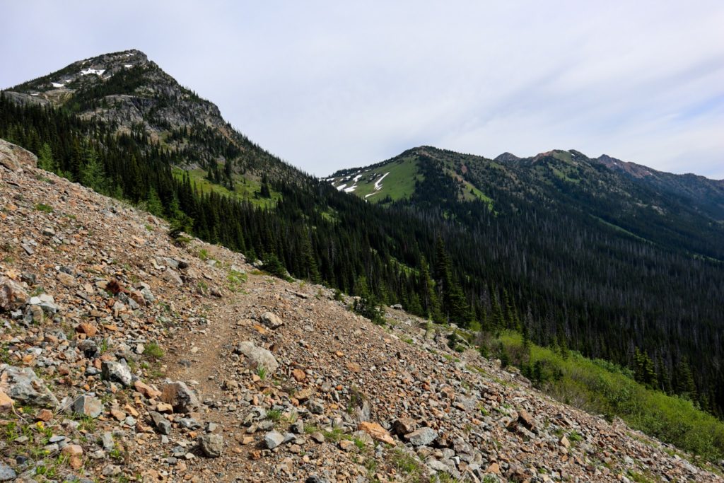
Matt and I woke up at 5:30am and took about 90 minutes to break camp. We were snacking on the one mile up to Rock Pass. We came over the top of the pass around 7:30am and saw the descent for the first time. Imagine a 1000 foot drop, full of loose rocks, and then scattered with a handful of snow fields.


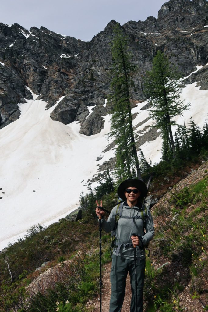
Generally, snow melts out of the North Cascades by July. But this year we’ve had a cool spring/summer so even by July 11th there was unmanageable snow to deal with. The top of the pass had a tall cornice of snow which was very tricky to get around. Matt and I paced back and forth looking for the safest way to get onto the first switchback and finally found a narrow pathway to walk on. We began descending and had to cross four very precarious snowfields. An ice axe wouldn’t even make the situation safer because the fall would be onto cliffs and loose rubble. I dont think anyone had been over the pass in a couple days because the footprints over the snow had faded somewhat. This meant that I was kick stepping my way across using my poles for support. After four very scary snowfields, we got lower in elevation so the stakes were no longer as high. Getting through the 2 miles of the pass took us over 3 hours.

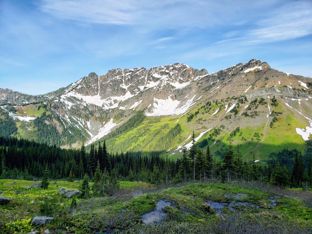
Most of our day was spent along ridgelines with occasional snowfields to cross. We went over Woody Pass next which was very pleasant compared to Rock Pass. Over Woody Pass we saw our first bear scat (!!) so we sang to notify bears of our presence.


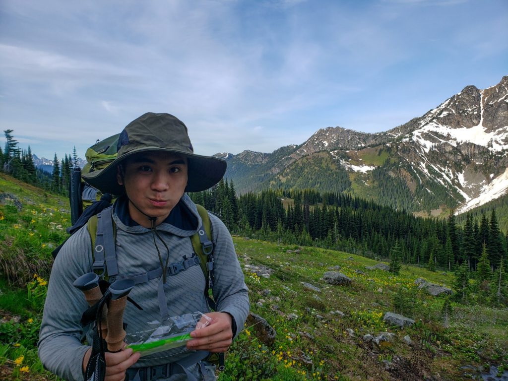
We found a mountain spring to sit by for lunch. I had leftover Spanish rice from dinner last night that I added to a tortilla with spinach, avocado, and cheese to make a very tasty burrito!!


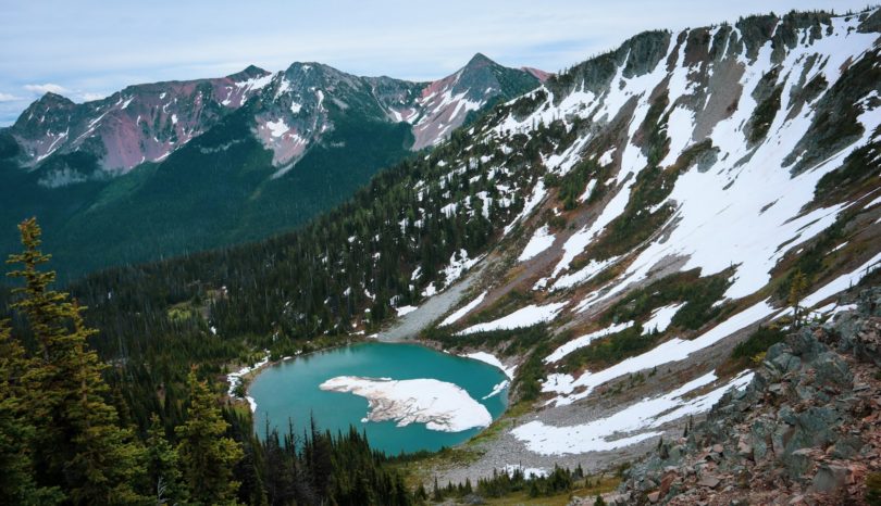
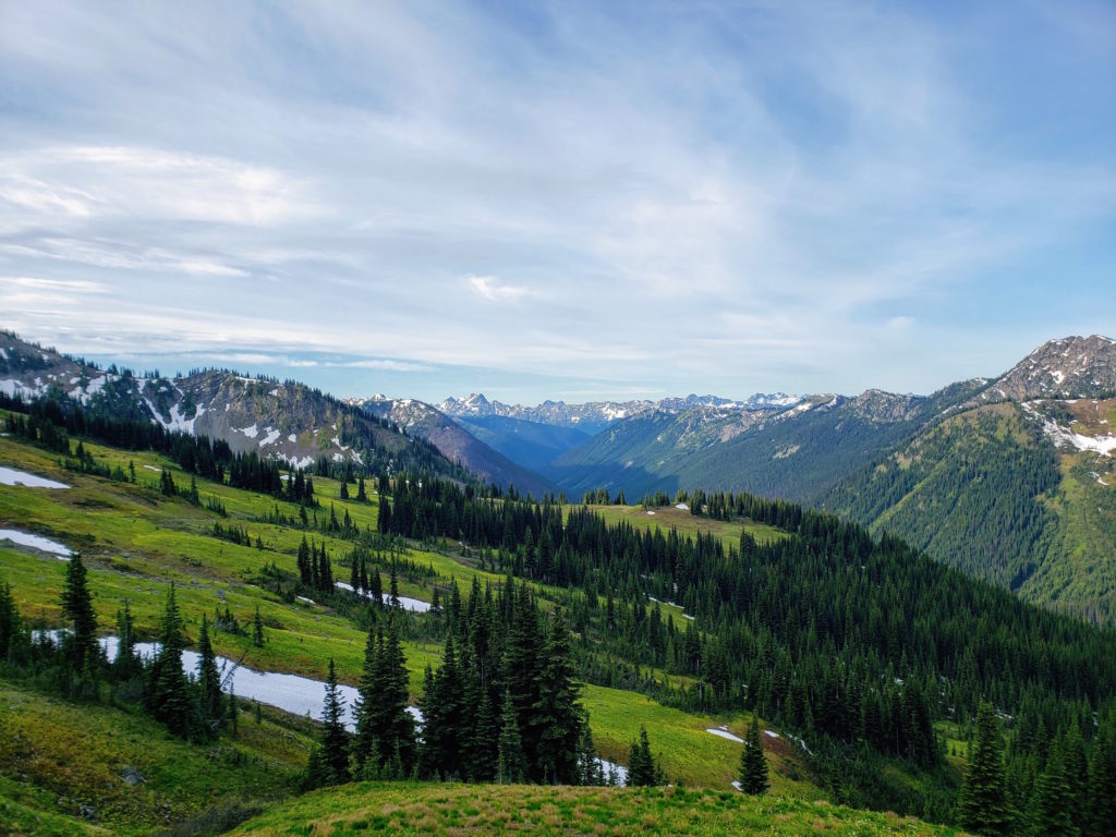
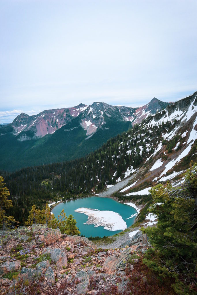
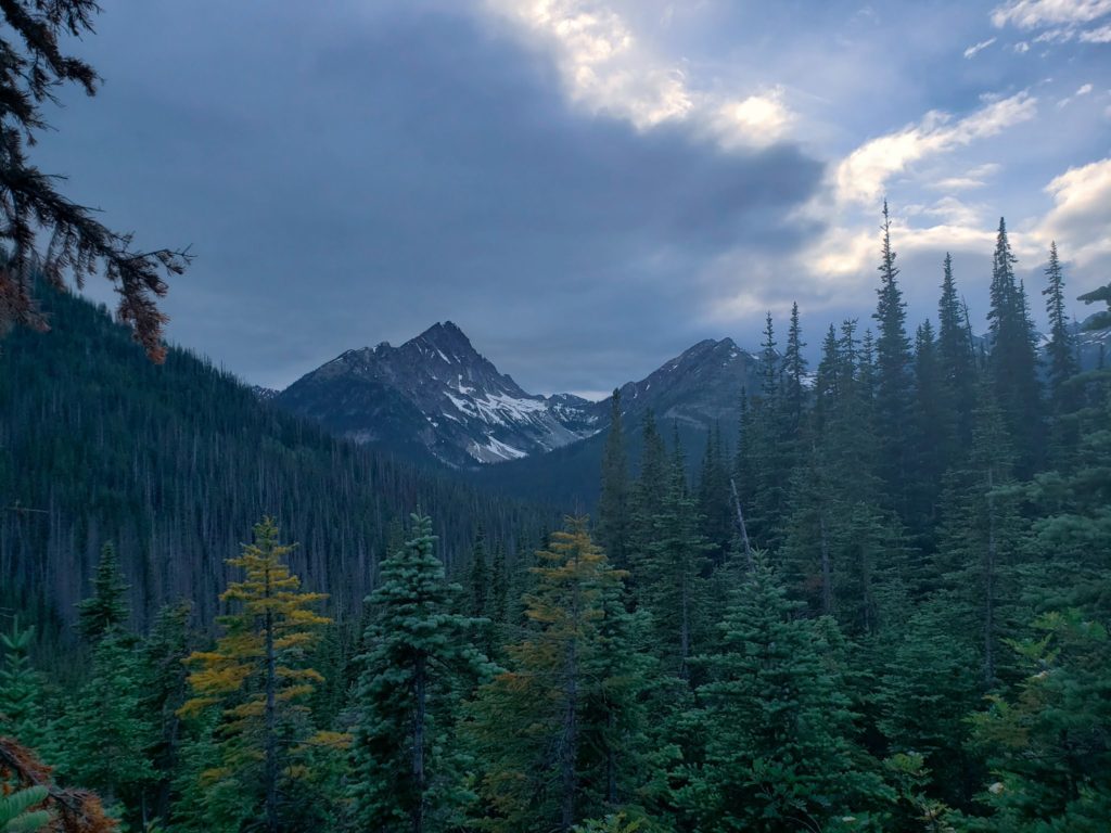
The views we had today of the North Cascades were absolutely stunning. Snow cover peaks in every direction. My favorite view was from up above Hopkins Lake.
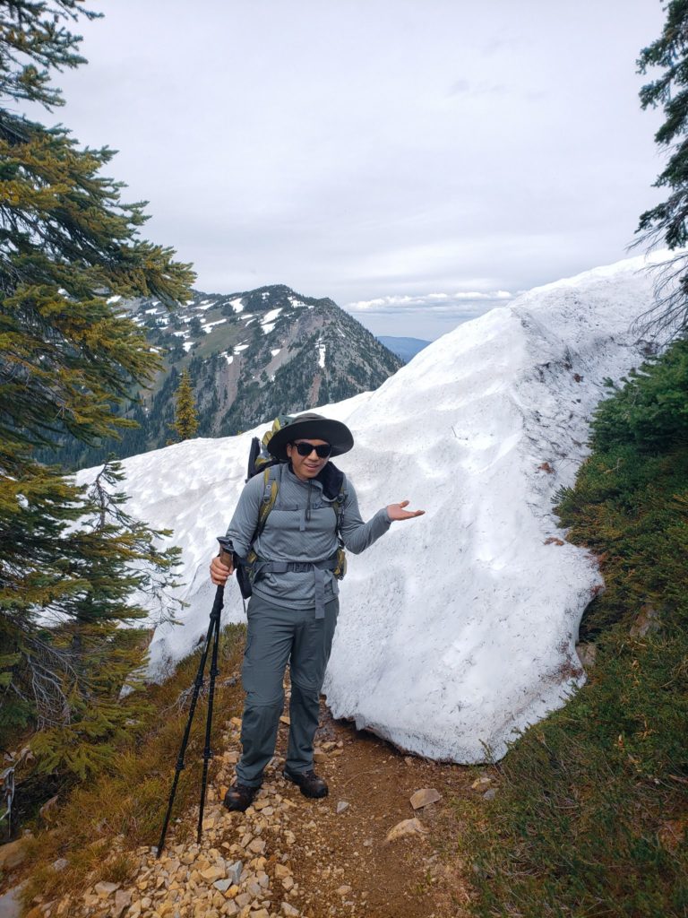

The last 8 miles of the day were all downhill. We battled snowfields again but finally made it down past Hopkins Pass. 3.7miles out from the border we considered stopping for the day but then pushed on to the border. Those 3.7 miles were the WORST. The trail was completely overgrown and there were so many blow downs.
But finally we reached Canada, after 13 hours of hiking. I was too grumpy to appreciate the monument so we ate dinner and set up camp, planning to take pictures and sign the registry tomorrow.